Good to Know
Season
Duration
Equipment needed
Difference in altitude
Tracciolino
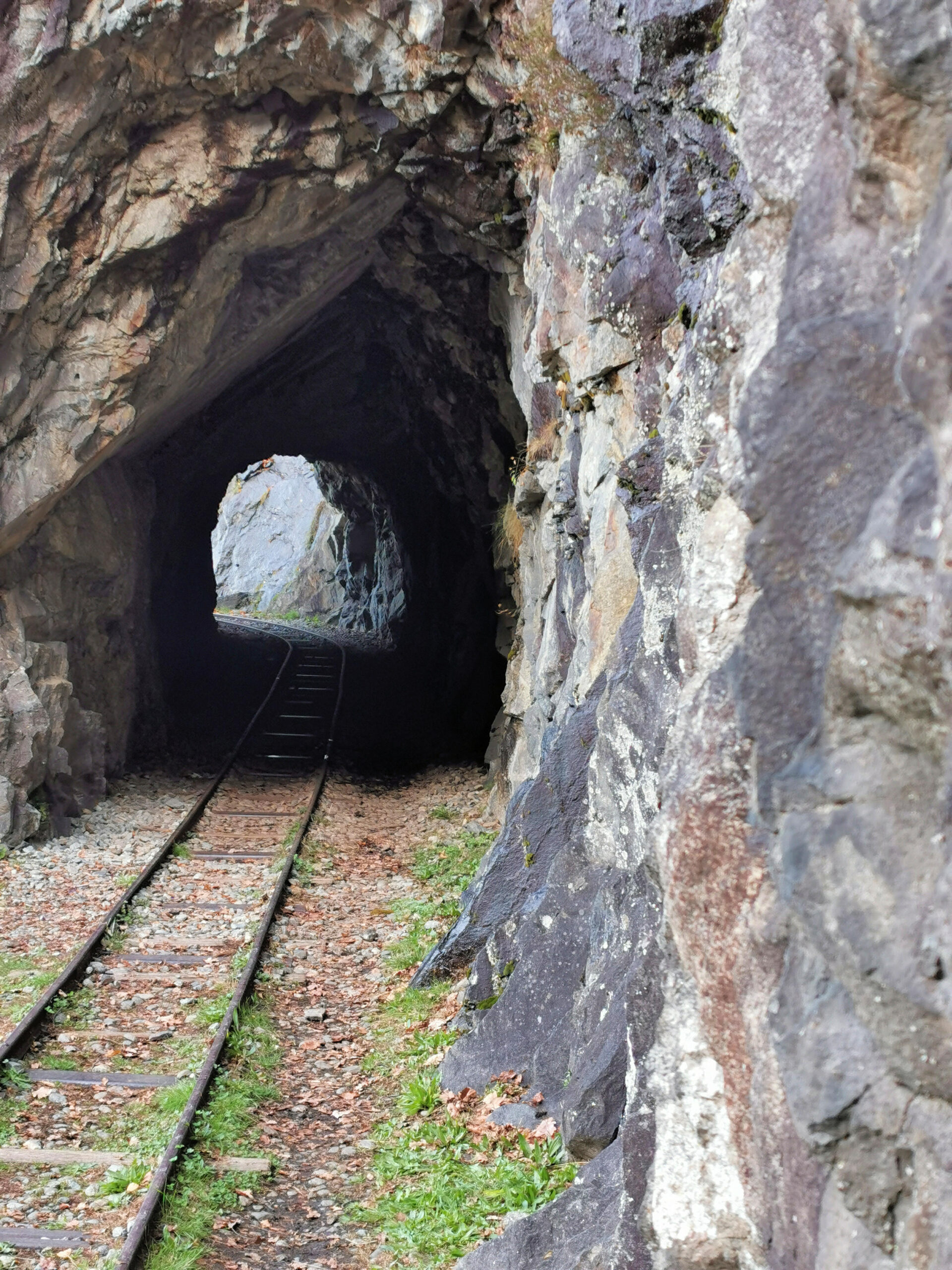
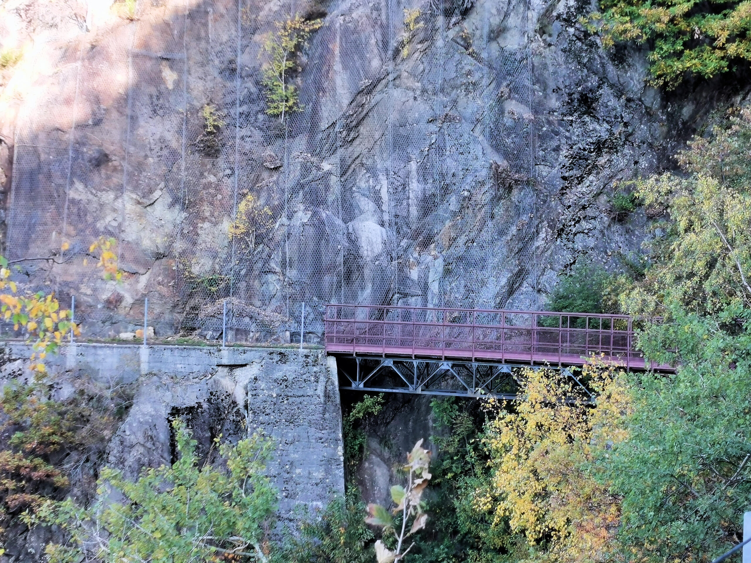
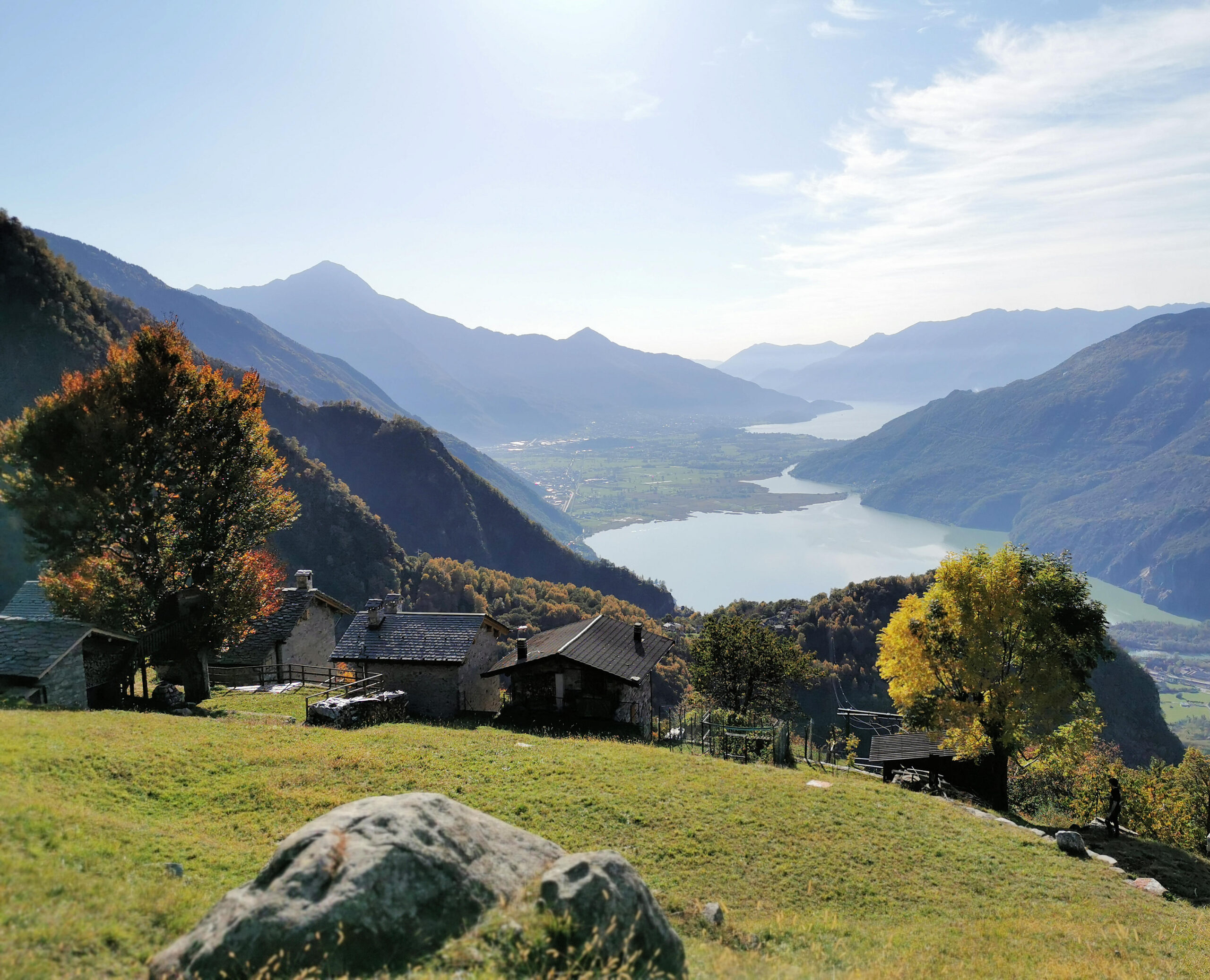
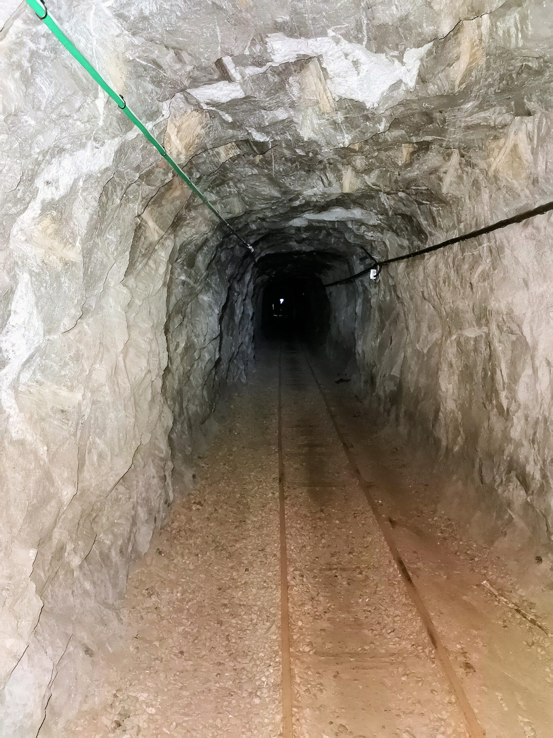
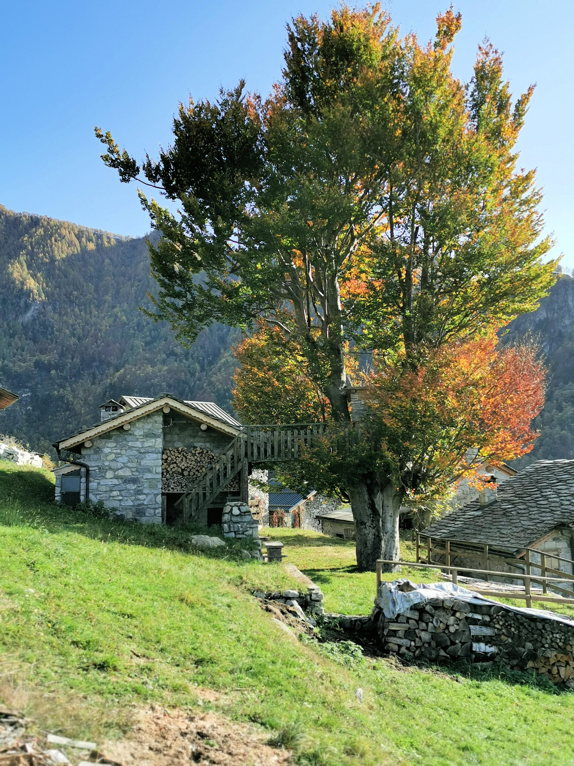
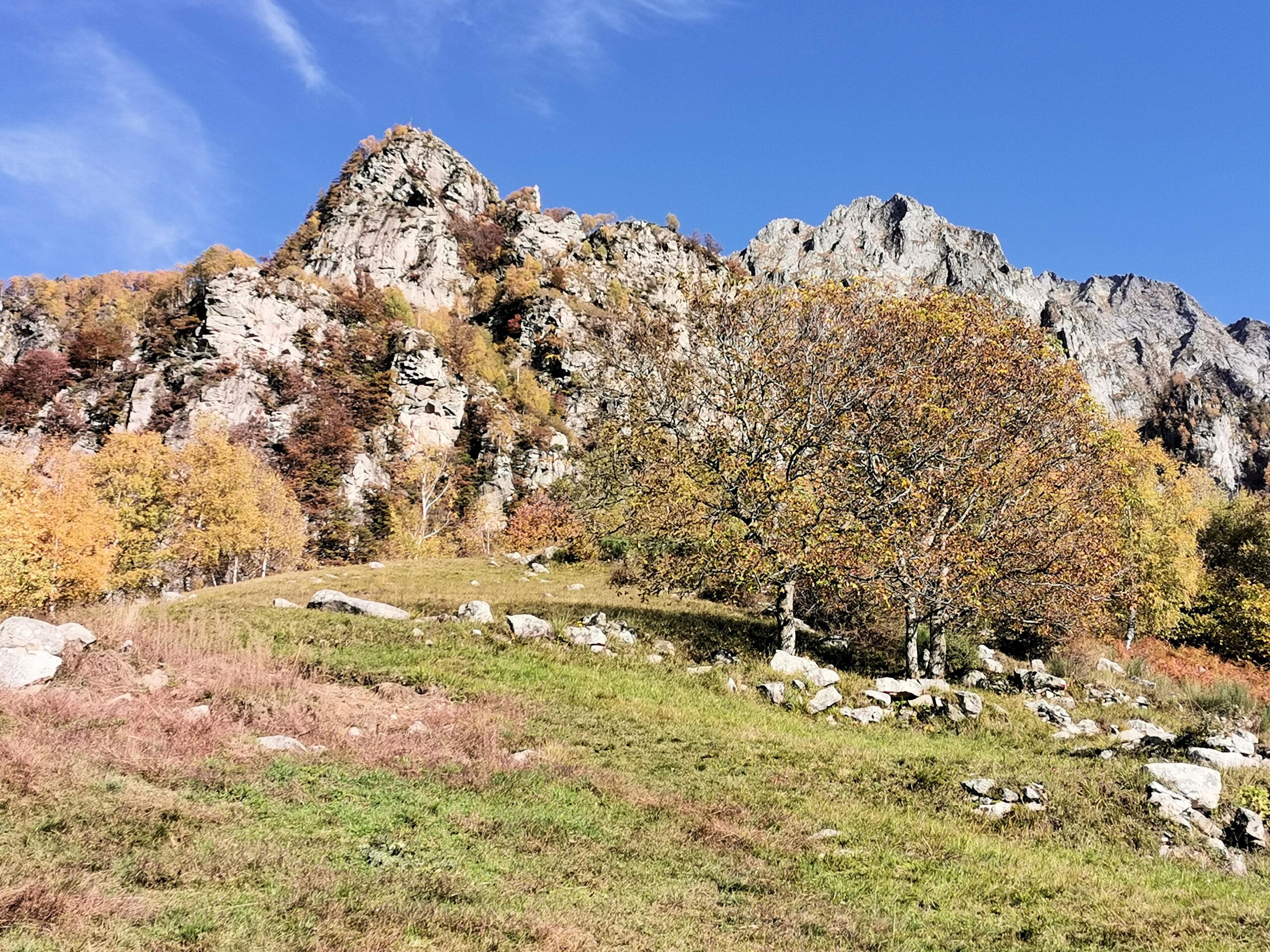
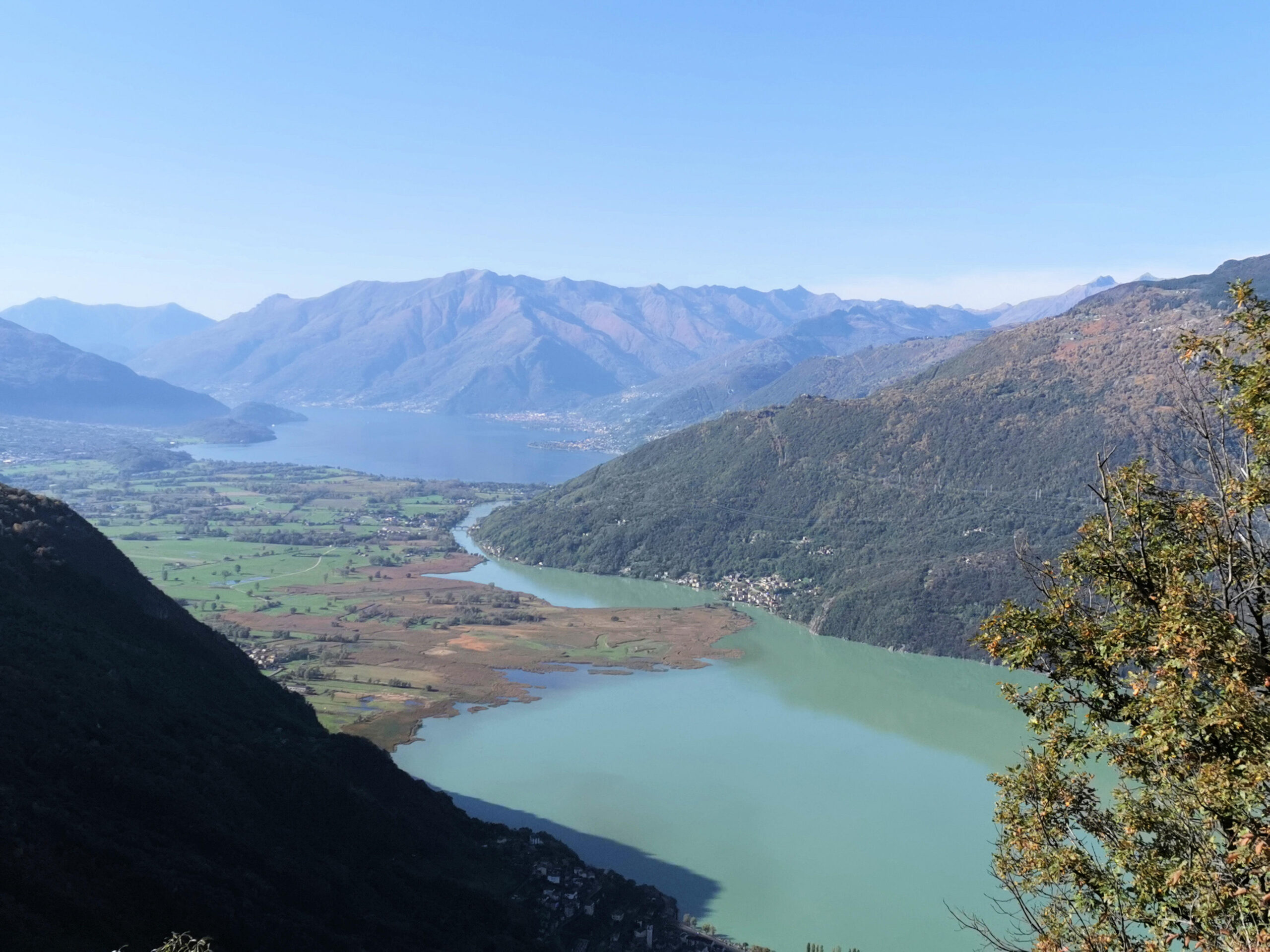
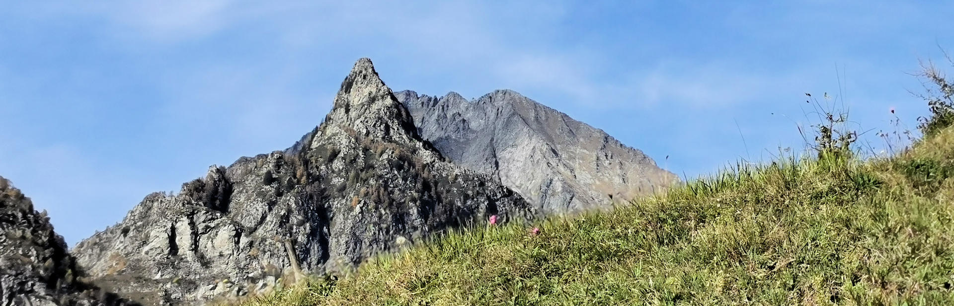
Tracciolino is a path that with a level of more or less 900 meters, runs on the flank of Val Chiavenna close to the Switzerland border. It goes from Valle Dei Ratti to Val Codera through Vallone di Revelaso and Val Grande. These last two valleys are dominated by the Sasso Manduino group. The highest peak of the group has an altitude of 2888 meters. Tracciolino has been designed because of the presence of dams, and in the past through it there was a tiny railway used for delivering tools and materials for the dams building. The path is characterized with a lot of galleries and it offers a splendid landscape on Val Chiavenna, Lago di Mezzola and Lago di Como. It is suggested start Tracciolino from Valle Dei Ratti side, because in Verceia village (Val Chiavenna) there is a road that allows to get the path. So the level to be overcome during the walk is very low. Close to Valle Codera, the endpoint of Tracciolino, there is a tiny village named Cola, and it is worth to be visited, also for the fantastic landscape on Lago di Mezzola and Lago di Como.
If you want more information please contact us using the info box!
To see the image description hold on the mouse pointer on the relative image.