Good to Know
Season
Duration
Equipment needed
Difference in altitude
Monte Rotondo - Lombardia
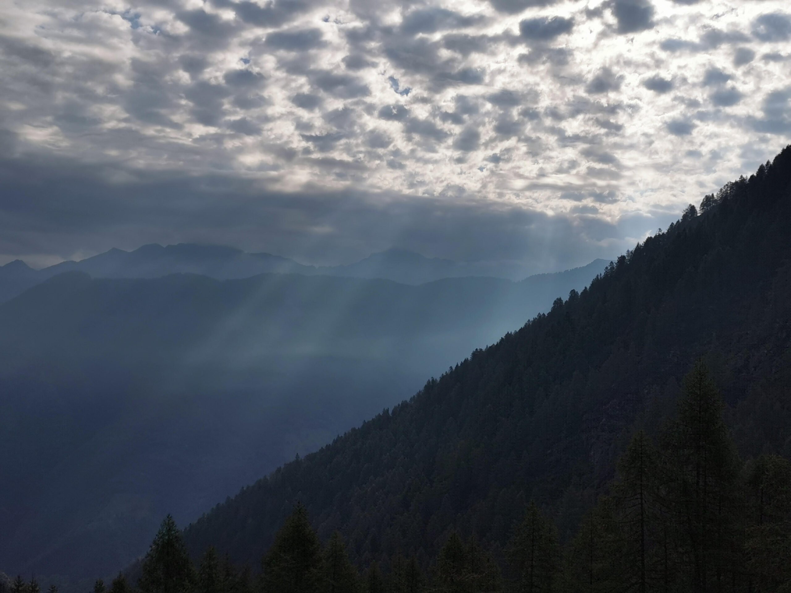
Valtellina is a valley in Lombardia region which goes mainly from east to west ending in the northernmost part of Lago di Como and its first part goes up toward north.
Due to its particularly orientation it divides Prealpi from Alpi, therefore the former are oriented toward south that is on the left orographic side of the valley and the latter toward north that is on the right side of the valley.
Monterotondo is a mountain in Prealpi and is located in Val Gerola on the border with Val Fraina. So this mountain is a part of the watershed between the two valleys. Val Gerola ends on the left orographic side of the main Valtellina and it is south oriented.
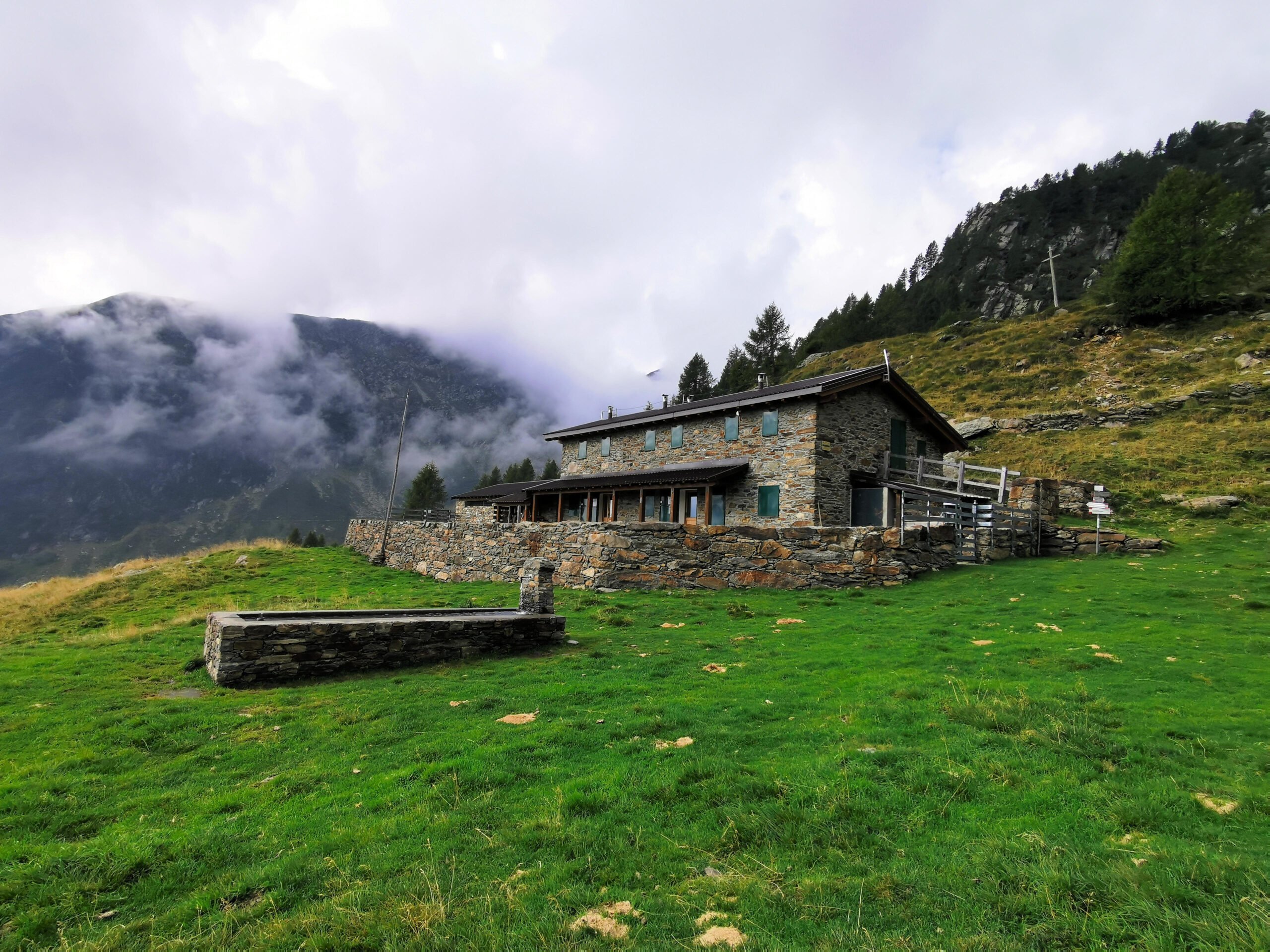
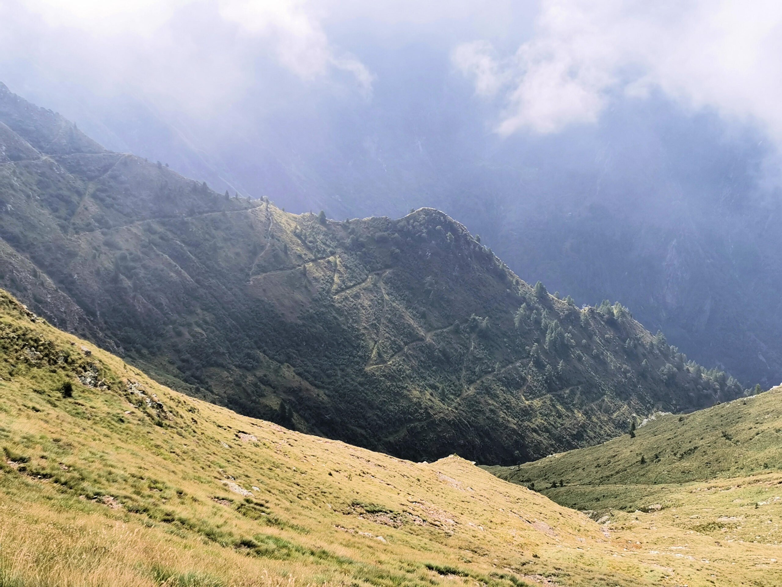
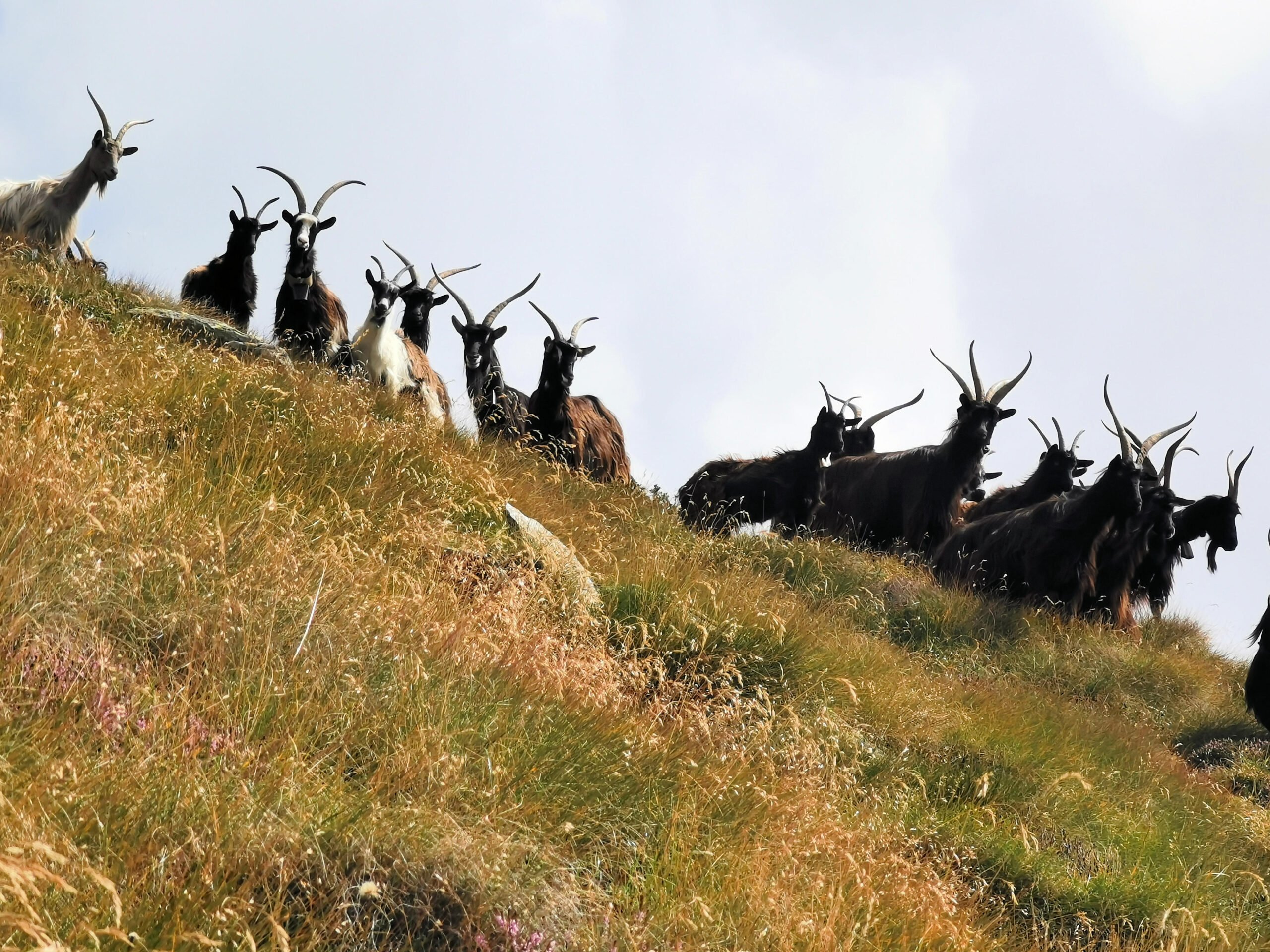
The main village in Val Gerola is Gerola Alta and form it a narrow road leads to Laveggiolo where the car can be parked. From this point a path starts and it climbs through the little Val di Pai, arriving to Alpe Stavello, a fantastic shelter located on the top of a forest.
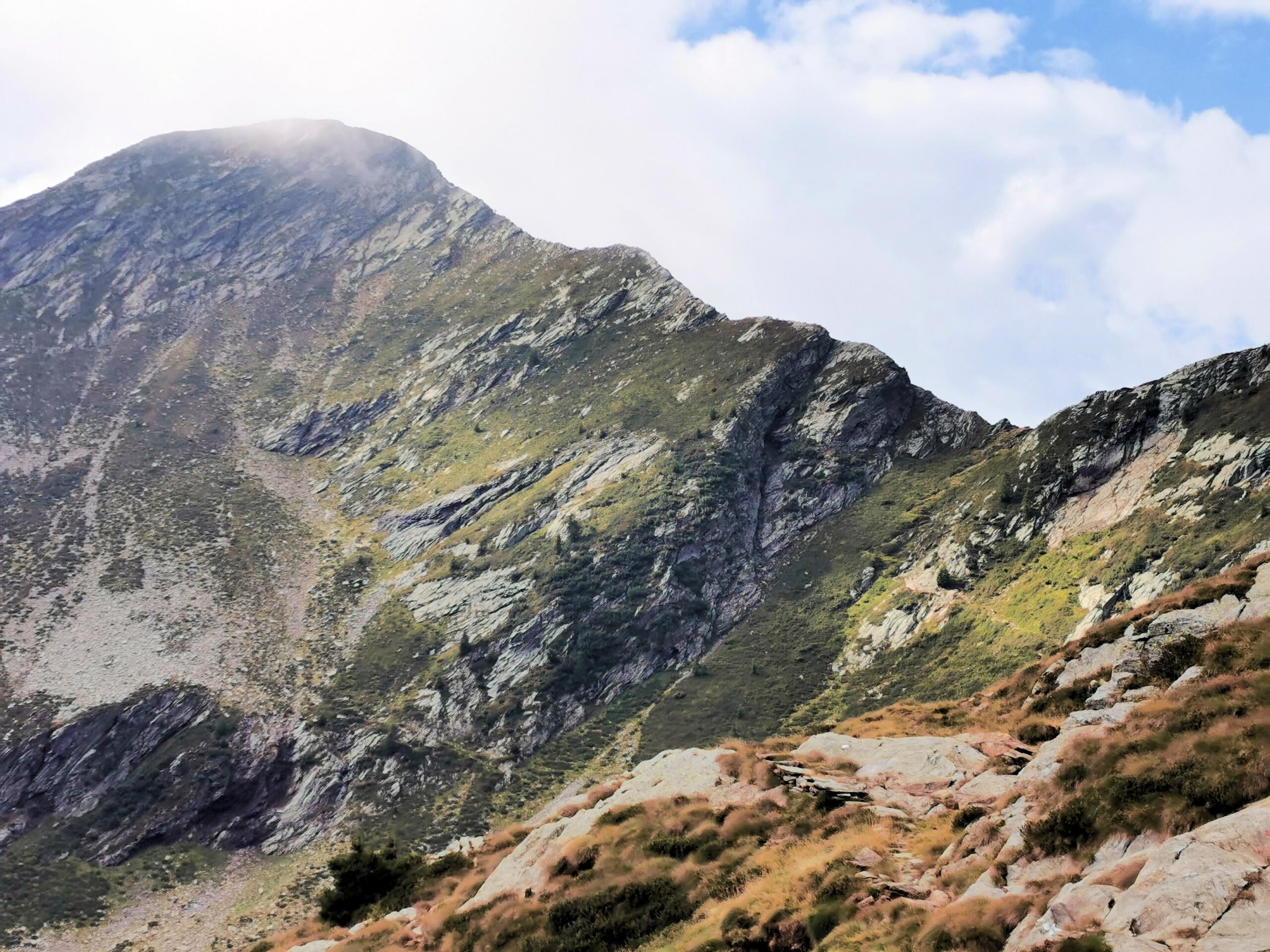
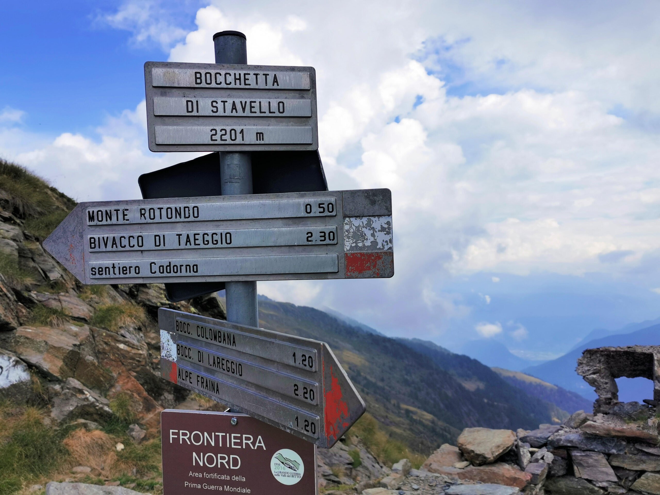
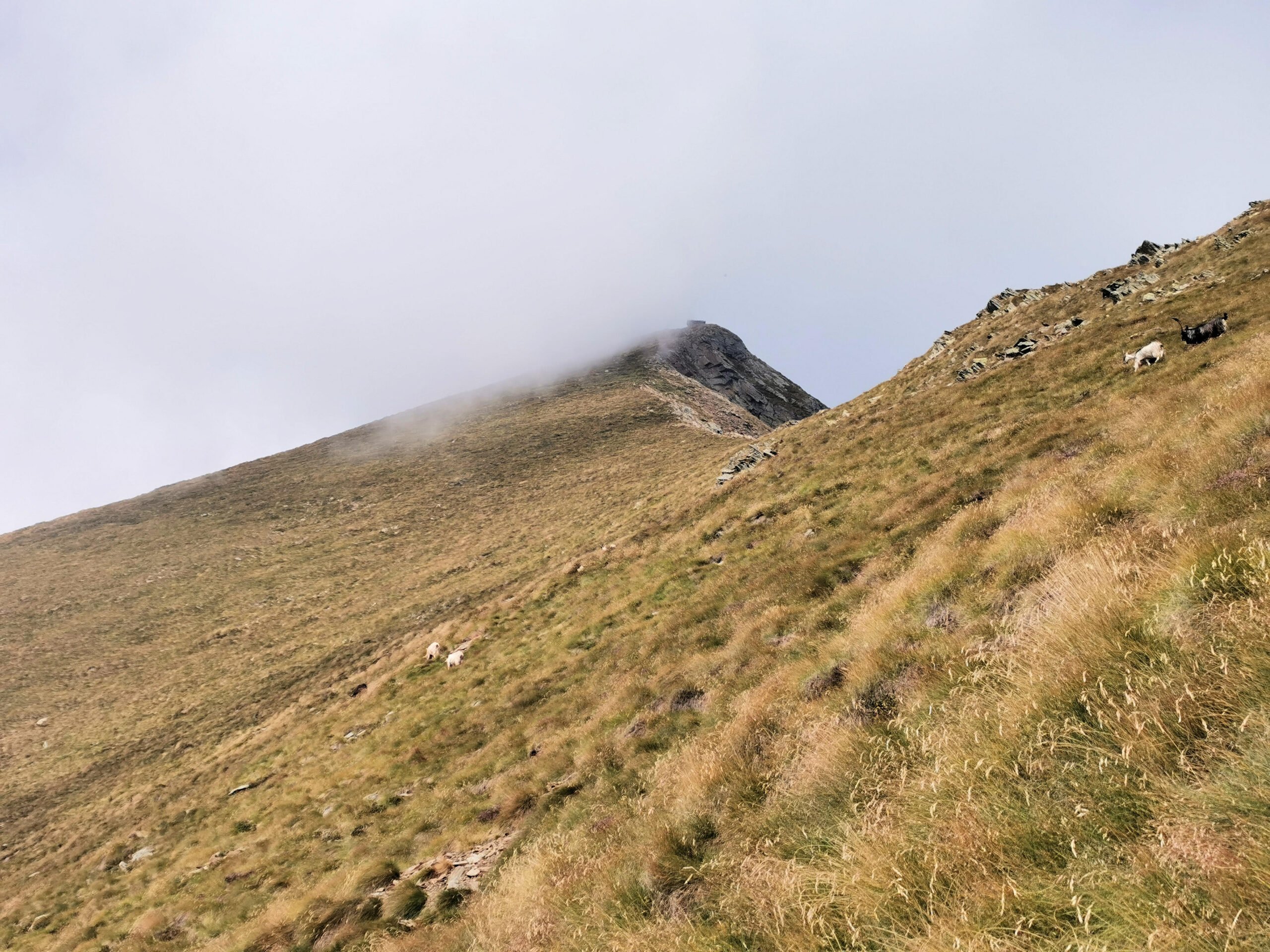
Alpe Stavello is the starting point to Bocchetta di Stavello a narrow pass located at an altitude of 2201 meters, reachable also by the path that climbs from Valle Fraina.
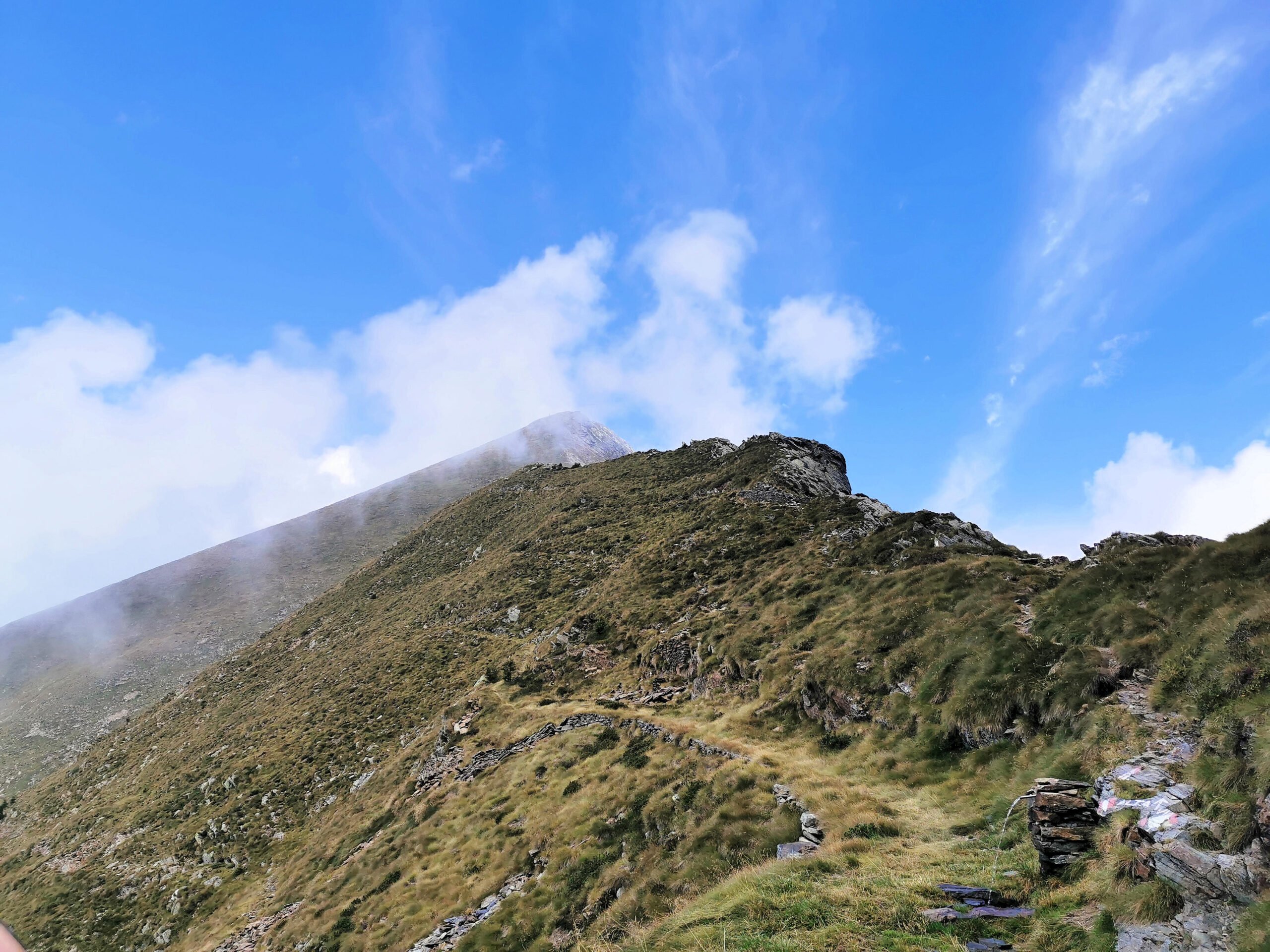
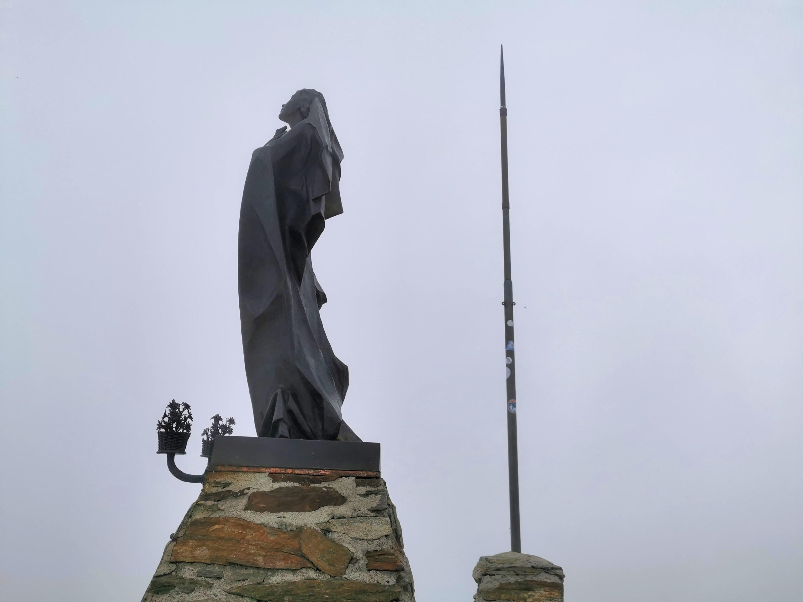
From Bocchetta di Stavello begins the last stretch of the path to the top of Monte Rotondo. This mountain has an altitude of 2496 meters and from it a breathtaking landscape over the Alpi chain in Lombardia can be seen (a view to die for !), but when we got the summit of Monte Rotondo the sky was completely covered by clouds, so … no blue sky no landscape and no photos !
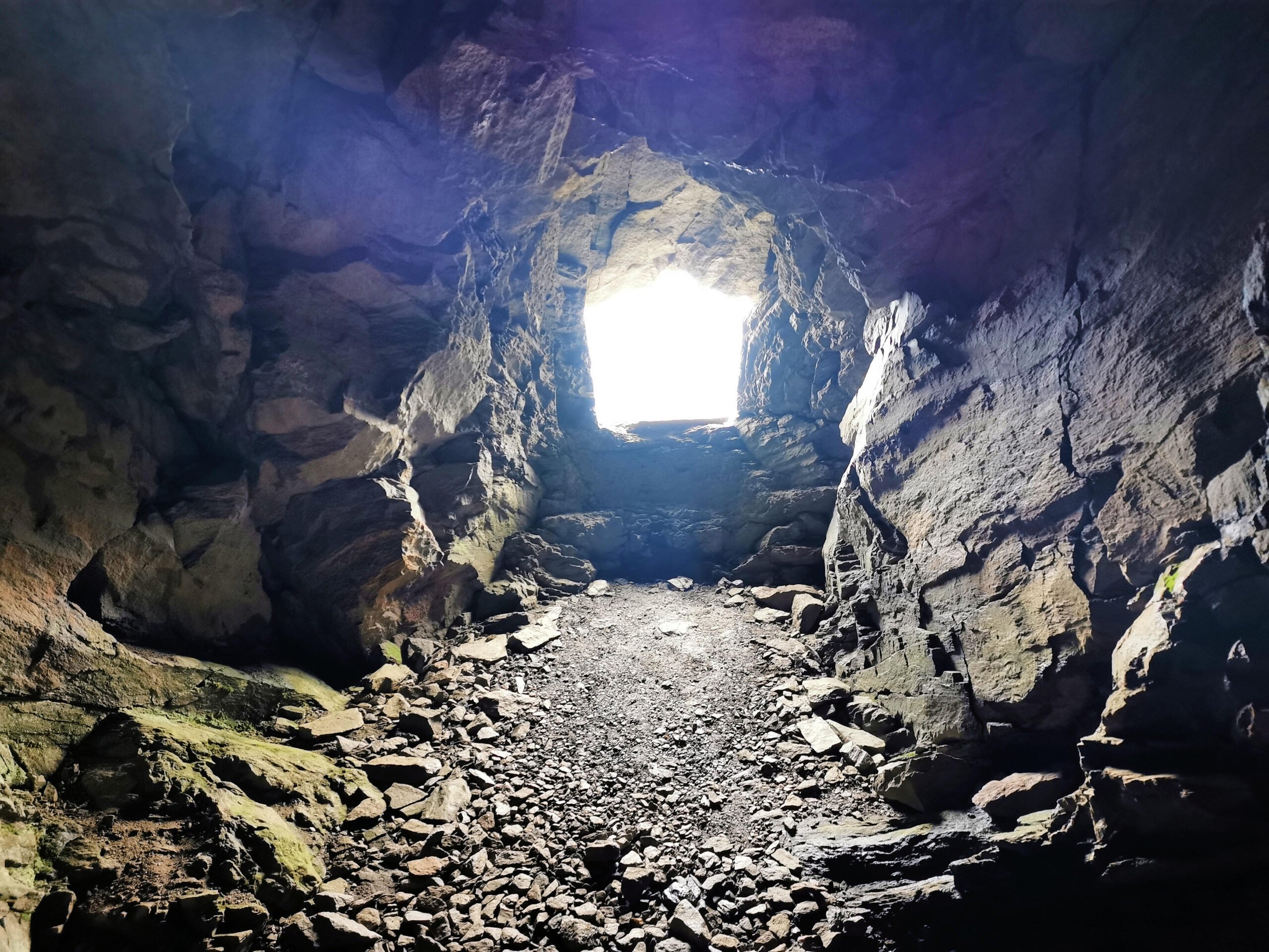
The unique thing visible was the statue of Madonna, no more no less. Climbing along the last stretch of the path, it is possible to visit some very old and small military fortresses.
If you want more information please contact us using the info box !
Click images to see their description.