Good to Know
Season
Duration
Equipment needed
Difference in altitude
Metz - Chaligne – Tza - Valle D'Aosta
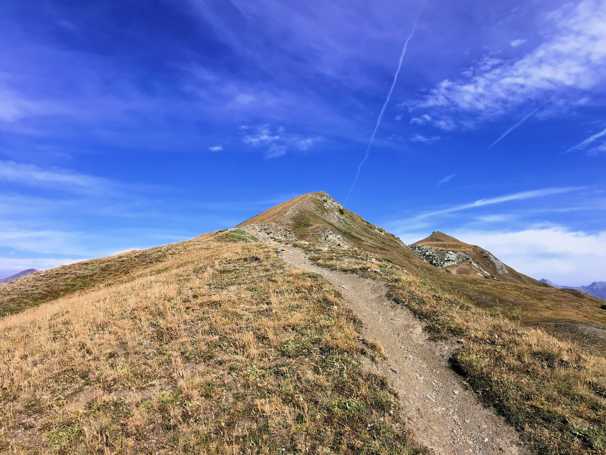
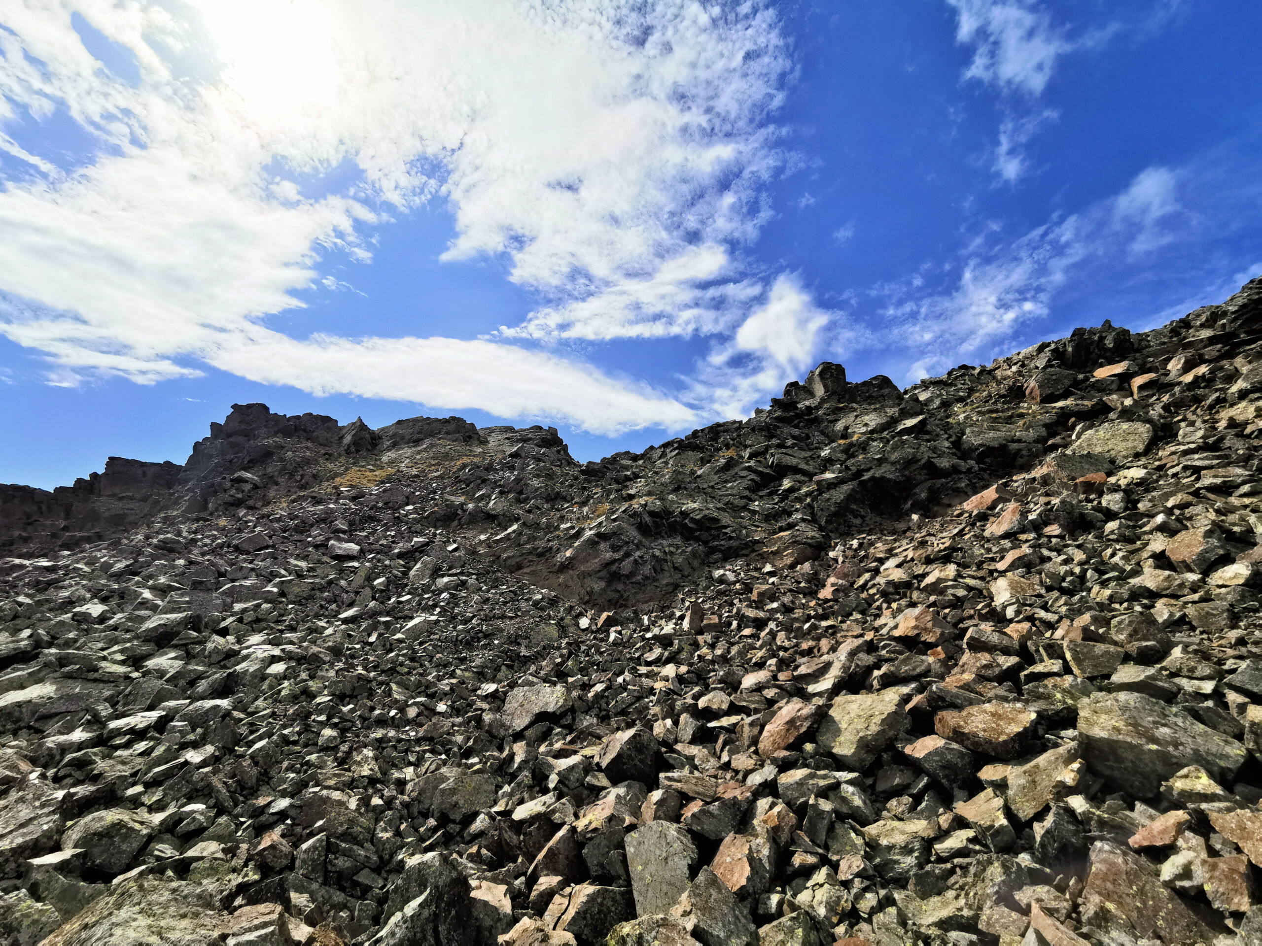
Three names – Metz, Chaligne, Tza – for three peaks chained together and climbed in a very one day ! That was our adventure in Valle d’Aosta region. This experience wasn’t that difficult, let’s say it was a bit of the easy, except for the last peak named Tza. In fact to reach the top of this mountain you have to cross a hard moraine, which is a bit dangerous and also demanding from an athletic point of view.
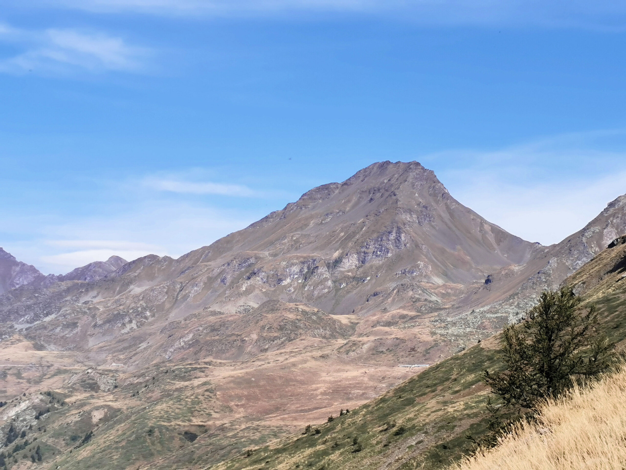
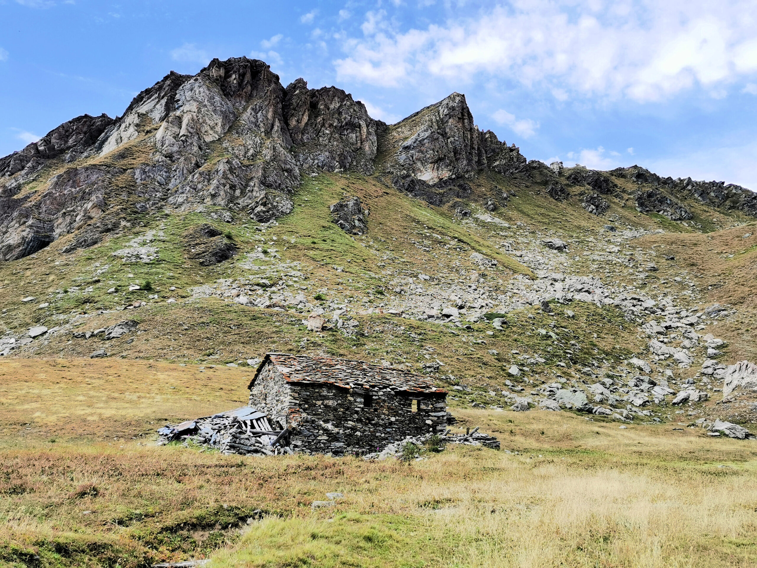
But let’s tell this adventure from the beginning. The path starts from a small hamlet named Thouraz, a bunch of old houses on the edge of a big forest. The first part of this path is “vertical”. It climbs straight away in the forest along a very steep slope. Then it winds through several hairpin bends until you get the end of the forest.
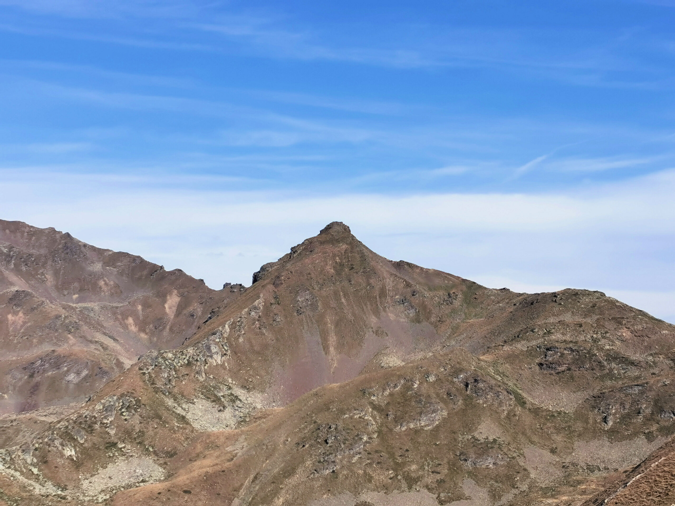
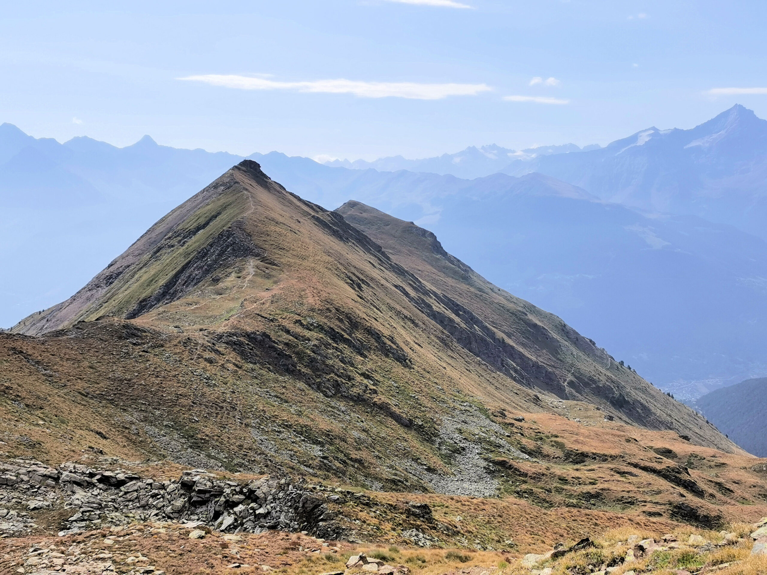
From this point you can easily reach the top of Pointe de Metz (2552 meters high). First goal scored ! When you are on this peak you can enjoy a gorgeous three hundred and sixty degree panorama, that will never leave you throughout the day.
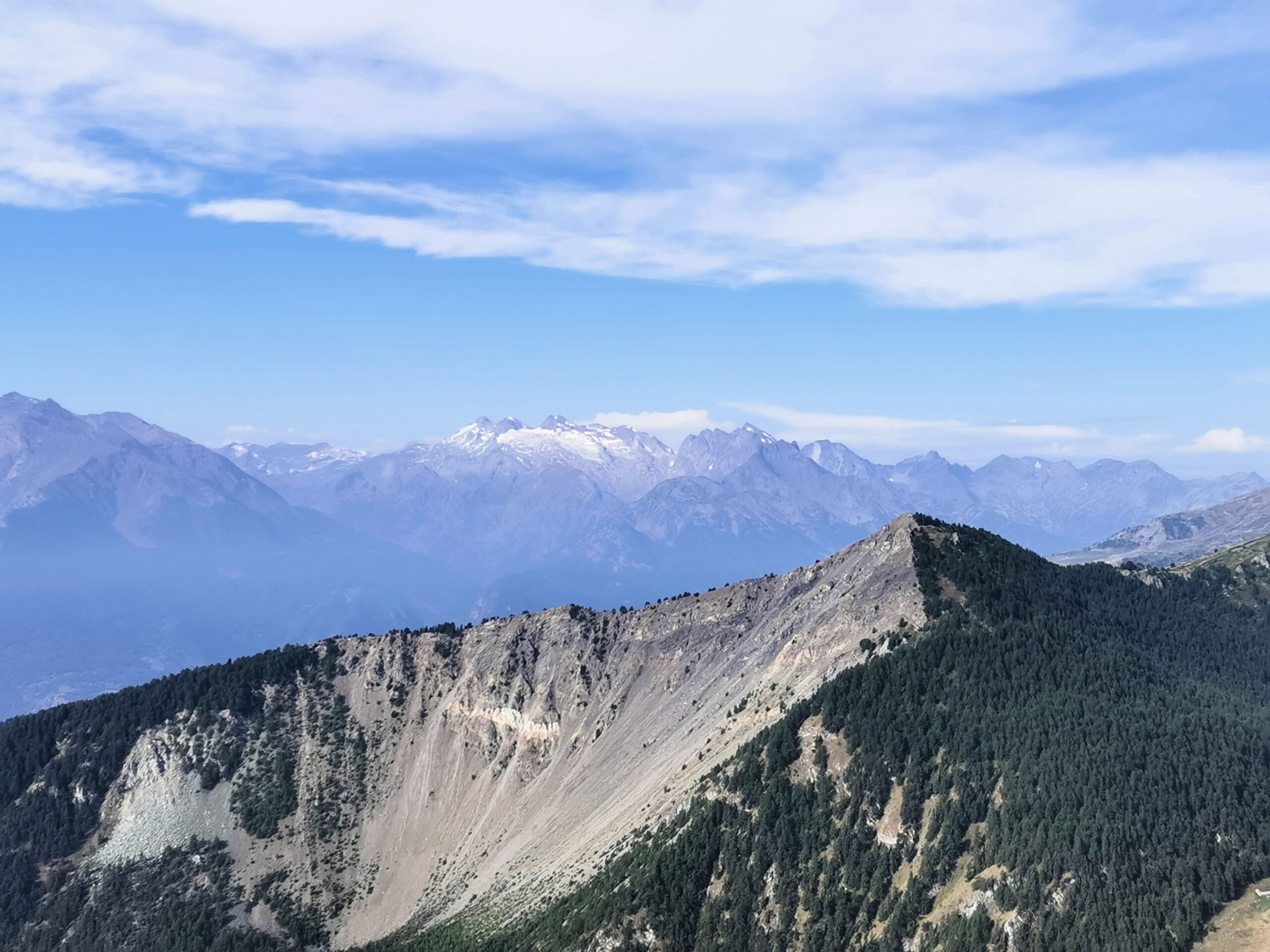
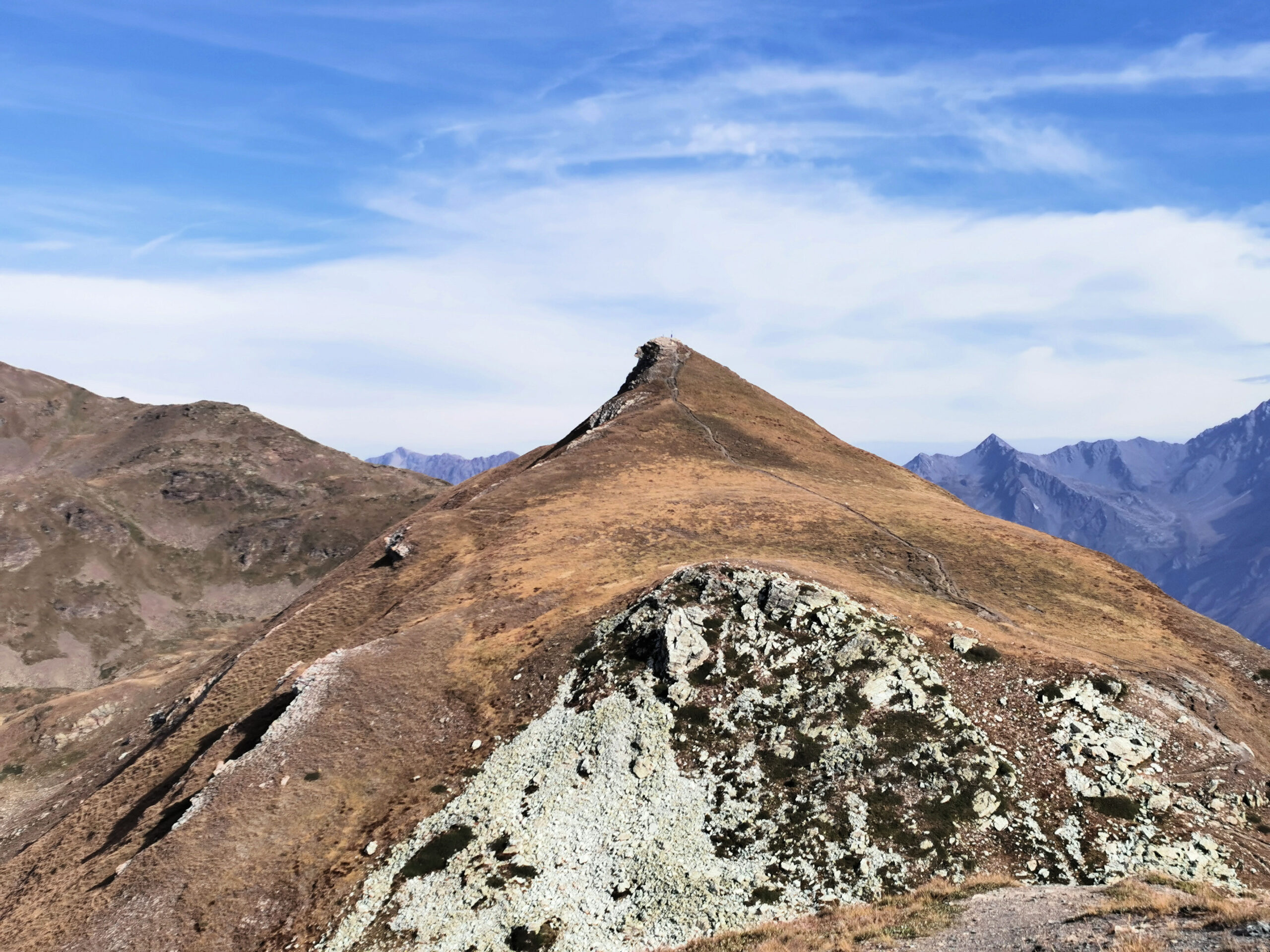
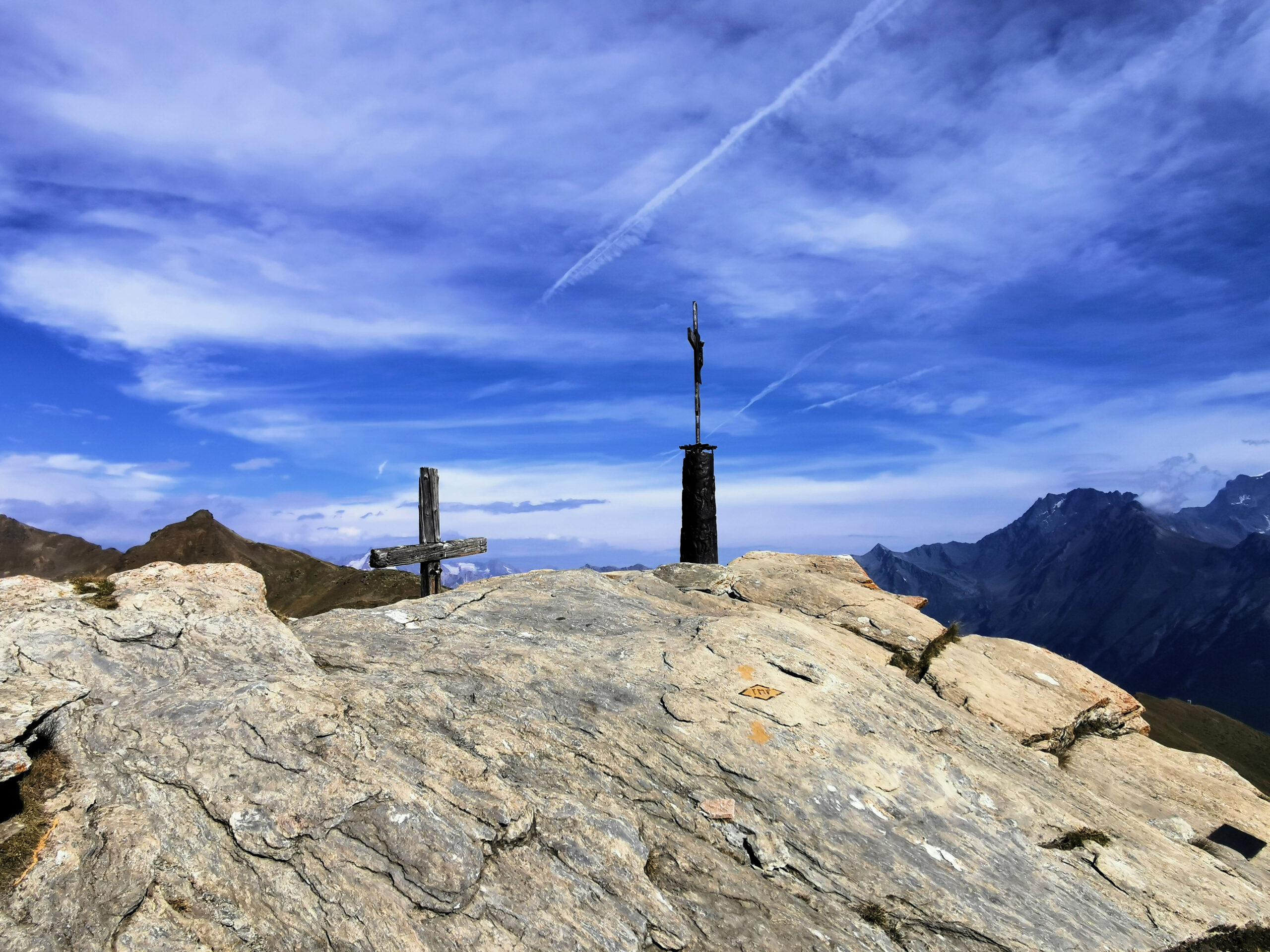
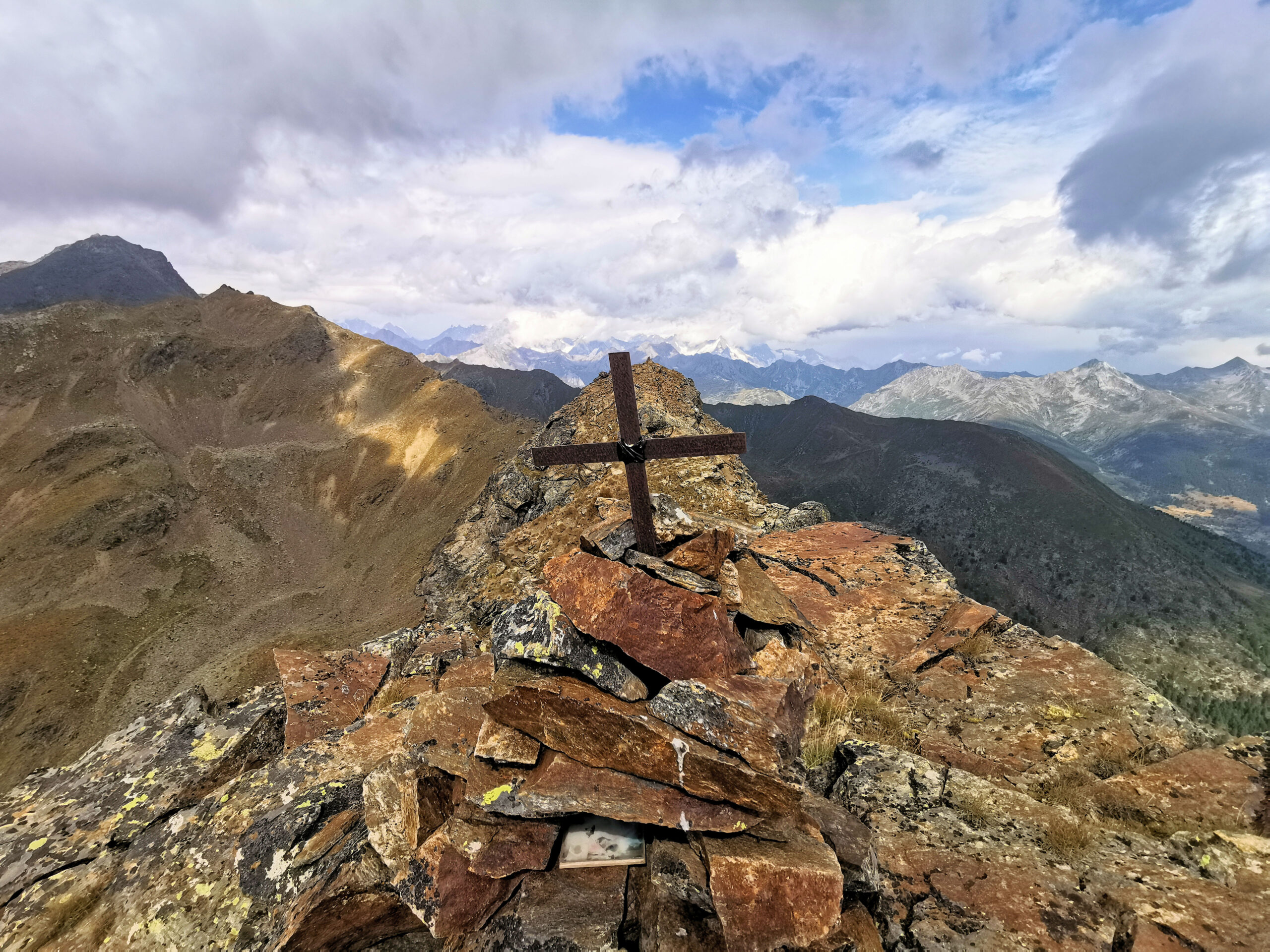
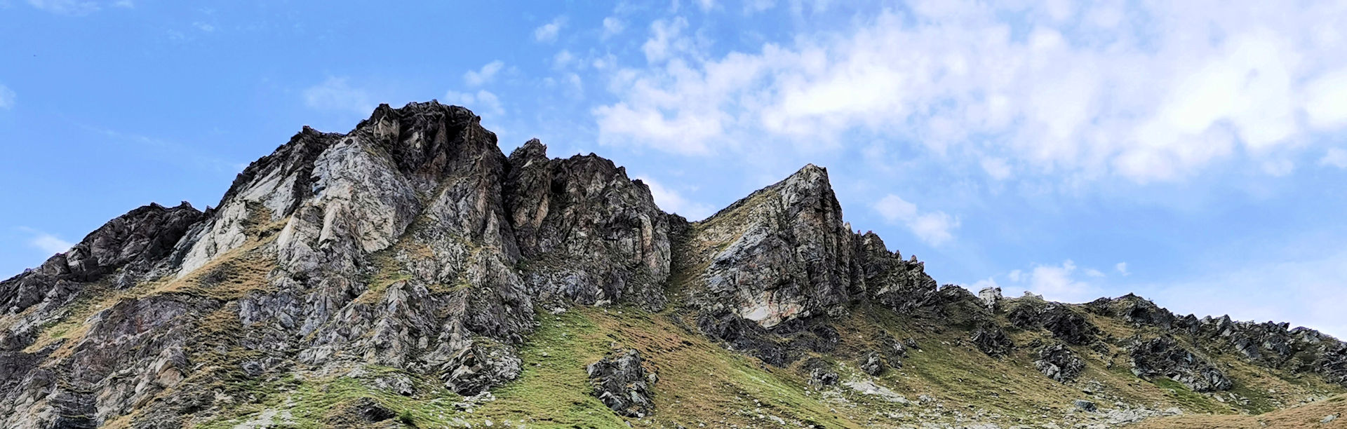
From Pointe the Metz to Pointe Chaligne it’s a leap. On the top of this last peak (2607 meters high) there are two crosses and from here the last part of the path to reach Monte della Tza (2741 meters high) begins and as mentioned above, it is a bit dangerous and challenging.
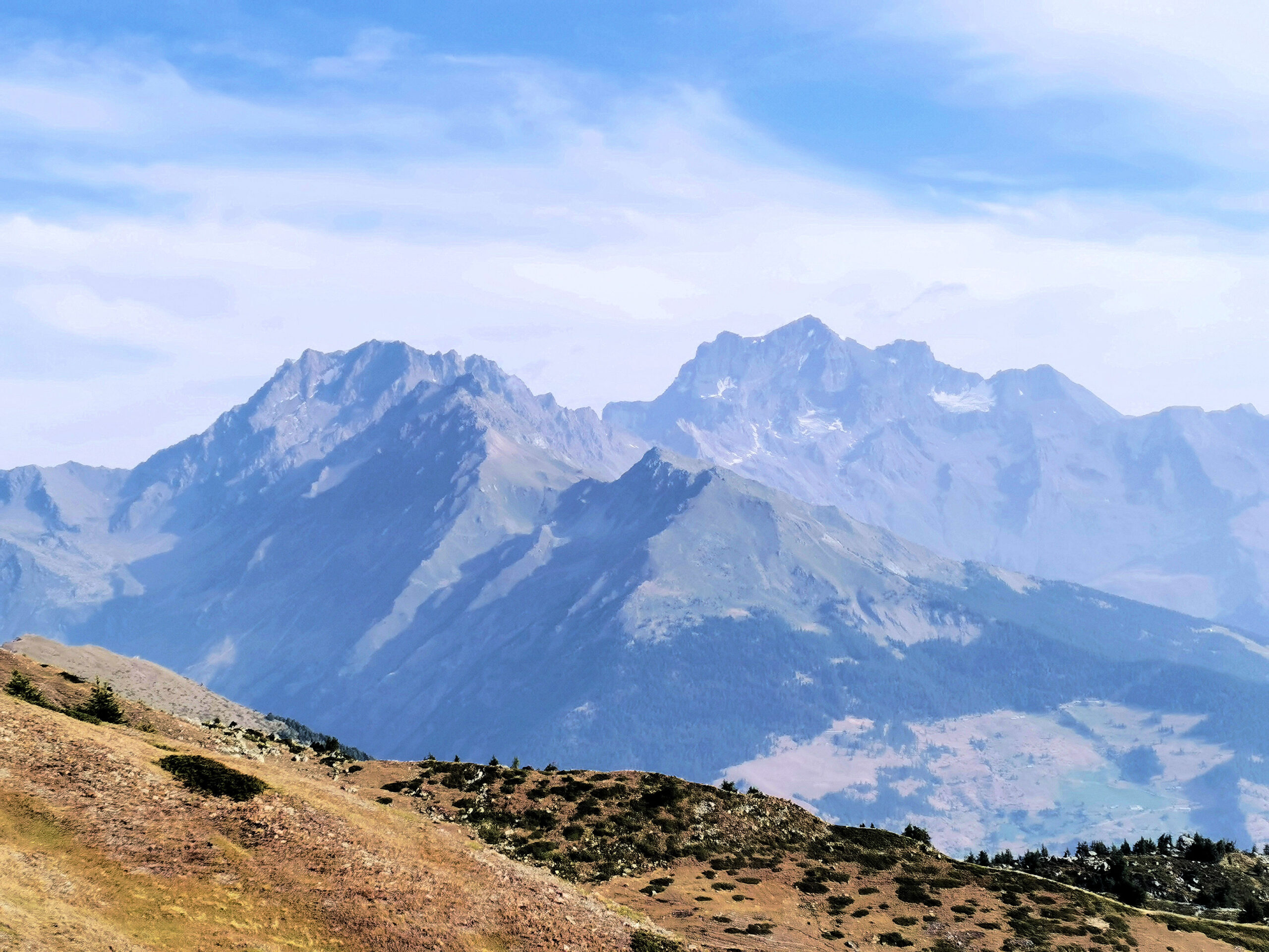
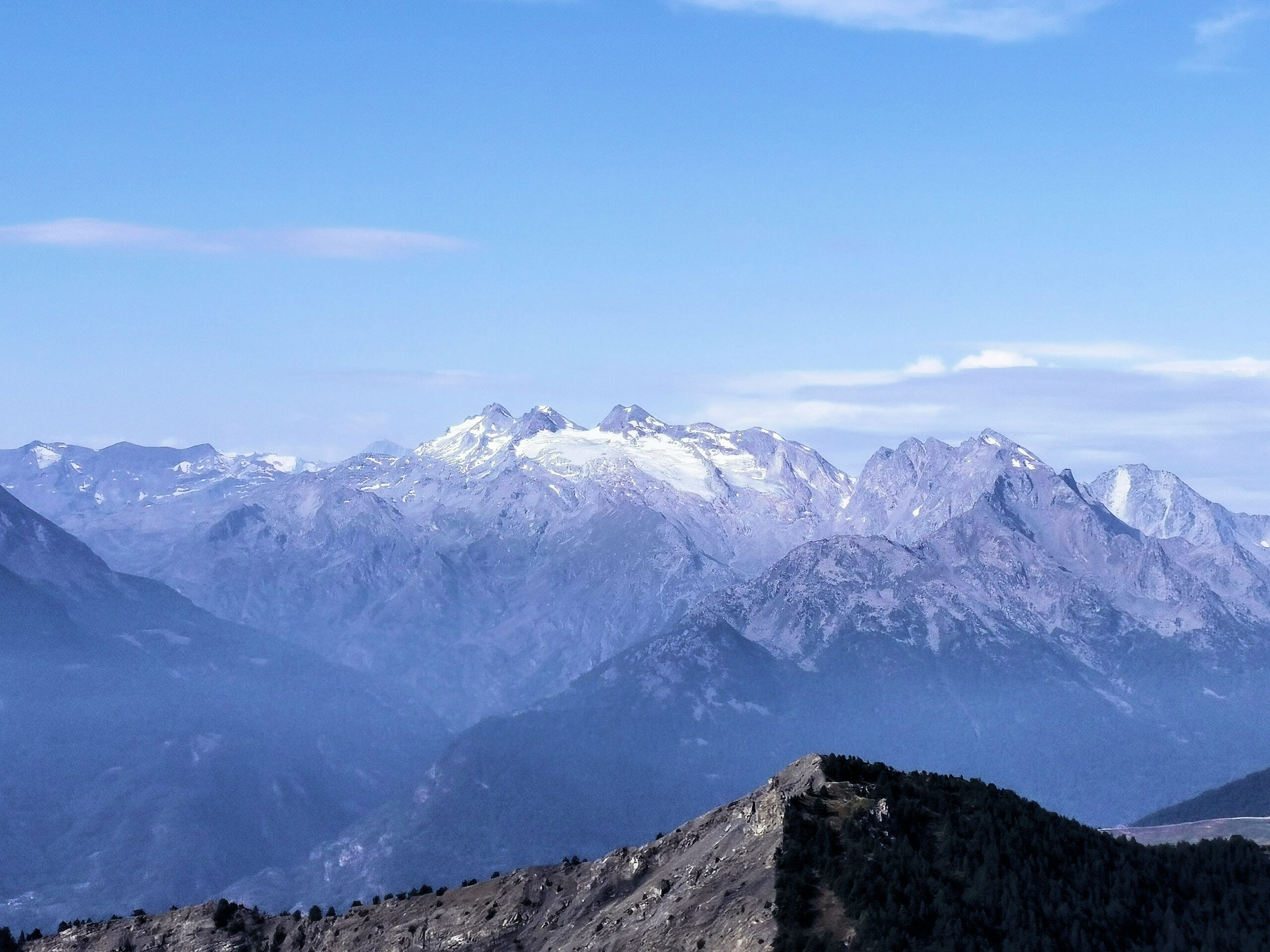
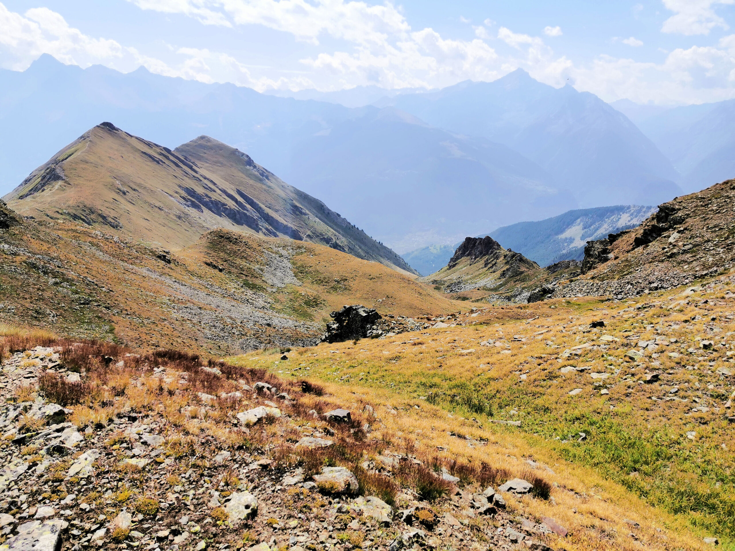
This entire path winds along the ridge of the mountains with a fantastic view on the highest Mont Fallere (3061 meters) which dominates all its side valleys. The Fallere mountain is also embedded in the watershed with Vallone del Gran San Bernardo, a very long valley that ends at the border of the French Switzerland with the Passo del Gran San Bernardo.
If you want more information please contact us using the info box !
Click images to see their description.